
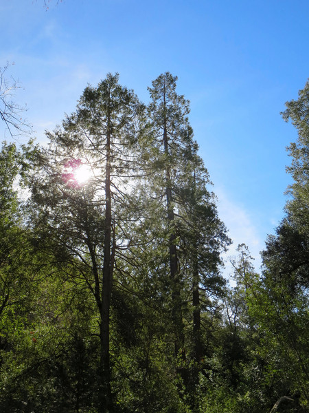
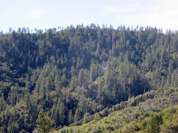
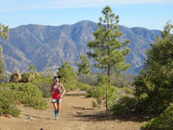
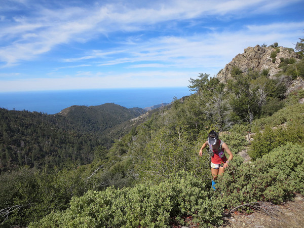
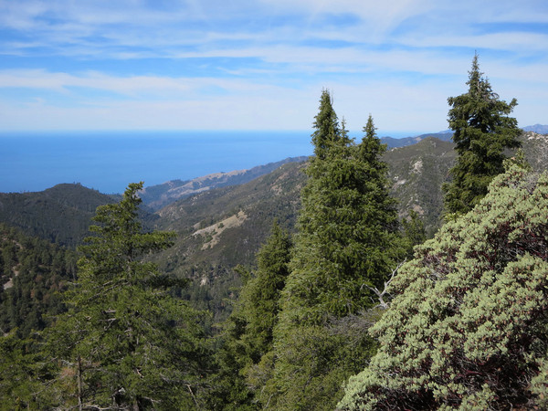
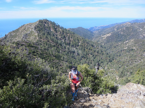
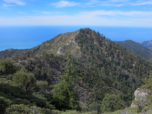
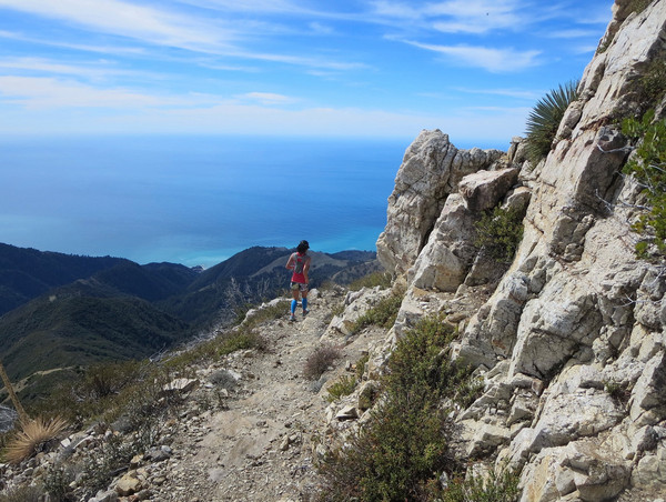
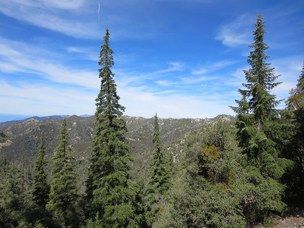
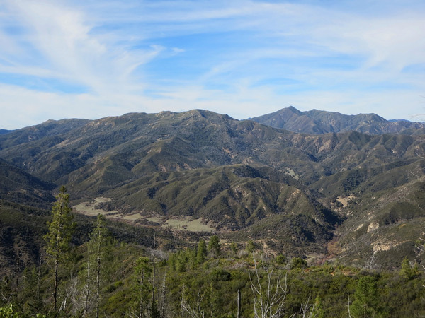
This was an excellent route linking the spectacular North Ridge of Cone Peak and the remote Lost Valley. I have been wanting to visit Lost Valley for some time so it was great to finally make it out there and also incorporate the excellent scenery of Cone Peak and South Fork Devils Canyon. We started from Memorial Park campground and went up the Arroyo Seco Trail. There is quite a bit of new downfall from a winter storm in February with one particularly cumbersome tree, but the canyon forest of incense cedar and Santa Lucia Fir was as beautiful as I remembered from the Santa Lucia Three Peaks adventure. Once on the North Coast Ridge, we made good progress to Cone Peak’s amazing north ridge where we left the trail. The ridge has awesome views in all directions, including the rugged South Fork Devils Canyon and the upper reaches of the San Antonio River. It’s also great to climb amid sugar pines and Santa Lucia Firs. After summiting Cone, we took the Cone Peak Trail back to Trail Springs and then up the Gamboa Trail to complete the small lollipop loop. We then took the North Coast Ridge Trail all the way to the junction with the Rodeo Flats Trail where Erica turned off to head back down to Memorial Park while I continued along the ridge to the Lost Valley Connector Trail. Continued below… 


 The Lost Valley Connector is marked by a stake where the old road bed of the North Coast Ridge Trail emerges onto the firebreak. The first part is single track with some encroaching brush and the next part is on an old firebreak that is quickly narrowing into single track as brush fills in. It is important to carry and study a map for the Lost Valley Connector as I saw a backpacking group heading down a wayward ridge and experiencing difficulties in thick brush. As long as you stay on the route, the trail is in fair condition and an efficient way to get form the coast ridge to Lost Valley. Lost Valley is a beautiful, peaceful spot with grassy meadows, pines, and chaparral covered hillsides. The best meadows are beyond the Lost Valley camp and a crossings of both Lost Valley Creek and Higgins Creek. This stretch of meadows is nearly a mile long and picturesque. While the meadows are beautiful, it is prime tick territory and I removed a number of them from my socks. After my out-and-back through Lost Valley I returned via the Lost Valley Trail which was recently brushed and cleared by a crew. The trail is in good shape except for a few new downfalls from the February storm. From 1,800 ft in Lost Valley, the trail climbs over 1,000 feet to a pass at ~2,900 ft that provides access back to the main stem Arroyo Seco drainage. Part of the way up to this pass is a pretty waterfall known as Pothole Slide Falls. The waterfall is a series of two slides down a smooth rock face with a pool in between, the “pothole.” Beyond the pass is a steep descent to the Arroyo Seco River. After crossing the river an 500+ ft vertical ascent leads to Escondido Camp where the trail concludes. From Escondido Camp it was a run along the Indian Rd. dirt track back to Memorial Camp. Stava route here, but note that actual mileage is 33+ miles.


Great pictures! Not a bad view at all!