
Serena and I climbed Mount Saint Helena which is located at the head of the Napa Valley in the Myacamas Mountains and is one of the highest peaks in the Bay Area standing 4,344 ft. The mountain is largely located within Robert Louis Stevenson State Park and is ascended via a 5.2 mile walk (10.4 mile round trip), 0.8 miles on trail and the remainder along an operational fire road. The fire road portion is a bit monotonous, but the stunning views improve the higher you climb more than making up for it.

The lower mountain is a fir forest and the upper mountain is largely populated by pine trees with a lot of exposure to the sun. We started the hike at 8:20 am and made it to the top at 10 am. We enjoyed the summit views for 20 minutes and then jogged most of the descent, arriving back at the car at 11:25 am. We were happy to be done before the heat of the day. Since the hike is exposed to the sunshine, it is not a good idea to do it in the middle of the day during the summer when temperatures well into the 90s are common.

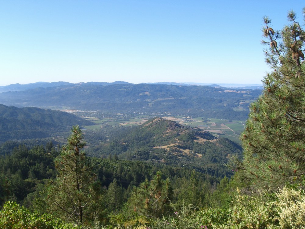
Mount Saint Helena also receives a fair amount of snow during the winter. I hear that the clarity is great on clear winter days with views all the way to Mount Shasta. While we couldn’t see Shasta on this day, we did have great views of Napa Valley and the Santa Rosa area. We could also pick out Mount Tamalpais, Mount Diablo, Lake Berryessa, the Vaca Mountains, the Sierra Nevada, Snow Mountain, Mount Konocti, and Cobb Mountain, among other peaks and features.

Many more photos after the jump!


