
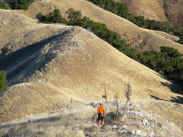
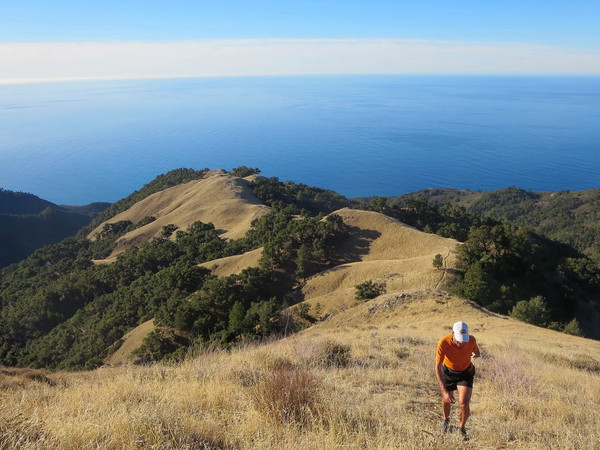
Cone Peak is the King of the Big Sur Coast and a visit to the region is always awesome. Rising 5,155 ft above the Pacific Ocean in around 3 miles as the crow flies, the summit has a commanding view of the region with stunning coastal vistas. The rugged topography is simply spectacular with a background of deep blue ocean a constant. The diversity of vegetation on the mountain is fascinating, including redwood, grassland, oak, and Santa Lucia alpine forest with the rare Santa Lucia Fir, Coulter Pines, and Sugar Pines. This time, I joined Brian Robinson for a repeat of the Stone Ridge Direct “Sea to Sky” route that I did last Spring. We also added on a very worthwhile extension from Trail Spring to Tin Can Camp. Iinstead of taking the Twitchell Flat use trail from Hwy 1, we took a more aesthetic route from Limekiln Beach and through Limekiln Park to a new trail (currently under construction) that links up with the Twitchell Flat use path in the West Fork Limekiln Creek drainage. Stone Ridge was every bit as amazing the second time around with mesmerizing ocean views with each step; perhaps my favorite route in all of the Big Sur coast. From the top of Twin Peak we traversed the rocky ridge all the way to the Cone Peak Trail which included a couple rock moves on the spine of the ridge. After visiting the Cone Peak lookout, we descended the trail on the north side which was an extremely treacherous ice skating rink of snow and ice. We gingerly walked through this section utilizing any kind of traction we could find. We arrived at Trail Spring happy to be done with that stretch.


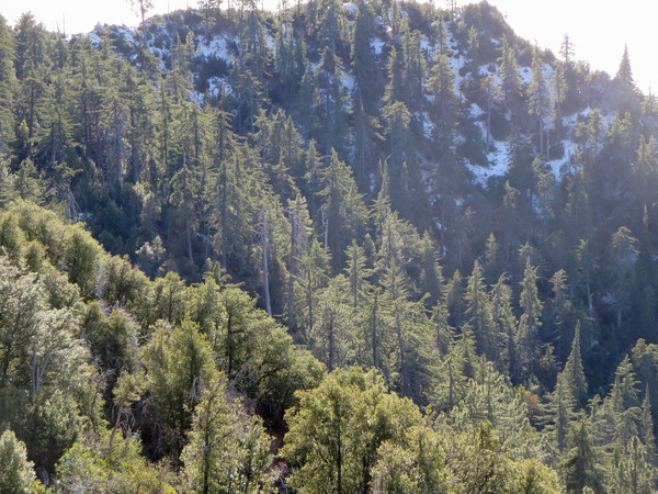
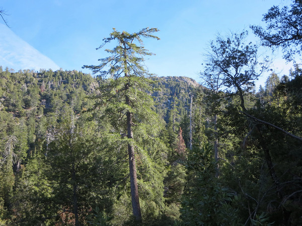
After filing up water bottles at Trail Spring we continued along the Gamboa Trail north. This section was brand new to me and I enjoyed the views down the South Fork Devils Canyon and the beautiful alpine forest of Santa Lucia Firs and Sugar Pines. After a climb, we reached the junction with the North Coast Ridge Trail and continued north along North Coast Ridge Trail, entering a lovely Sugar Pine forest near Cook Camp. Beyond Cook Camp, the North Coast Ridge Trail emerges from the forest along a high ridgecrest with amazing views down the wild and rugged Middle Fork Devils Canyon on one side and Junipero Serra Peak (Pimkolam Summit in Native American) on the other side. We made Tin Can Camp the logical turnaround spot and enjoyed the spectacular views from a rocky outcropping. From this point, we talked about continuing along the North Coast Ridge Trail and then Coast Ridge Road all the way to Big Sur, a future project we were eager to tackle. After retracing our steps to Trail Springs and filling up water one last time, we continued along the Gamboa Trail west, one of my favorite stretches of single track in the Santa Lucia Fir forest. We took the Stone Ridge Trail back to the rocky knoll and ~2,100 ft and then the Stone Ridge use path down into Limekiln Park. After the adventure run, I drove out to Pacific Valley Bluff and snapped some great sunset photos of Stone Ridge and Cone Peak. It was another great day Cone Peak and I’m already planning future adventures on the mountain! Strava route here.


6 CommentsAdd yours