
State Peak is a very remote and fairly obscure peak in Kings Canyon National Park located between the Middle and South Forks of the Kings River along the Cirque Crest. While only rising 12,620 feet, the mountain’s position west of the crest between such deep canyons affords tremendous views of the surrounding region. I had previously passed on State Peak during a large 50+ mile loop out of Road’s End including Marion Peak and Windy Point in 2014, but made a point to come back since I knew the summit would have a prime vantage of the South Fork Kings River and the Muro Blanco. It appears the long distance and substantial elevation gain from the nearest trailhead has mostly relegated this wonderful summit to the “peak bagging” crowd for which checking off a list is the top priority. I couldn’t care less about any lists, bagging or bragging about anything in the wilderness but I was still drawn to this mountain which promised a superb view (it did not disappoint). Along the way I was excited to revisit the beautiful Glacier Lakes region which I had seen previously along the Sierra High Route. Full photo album here.
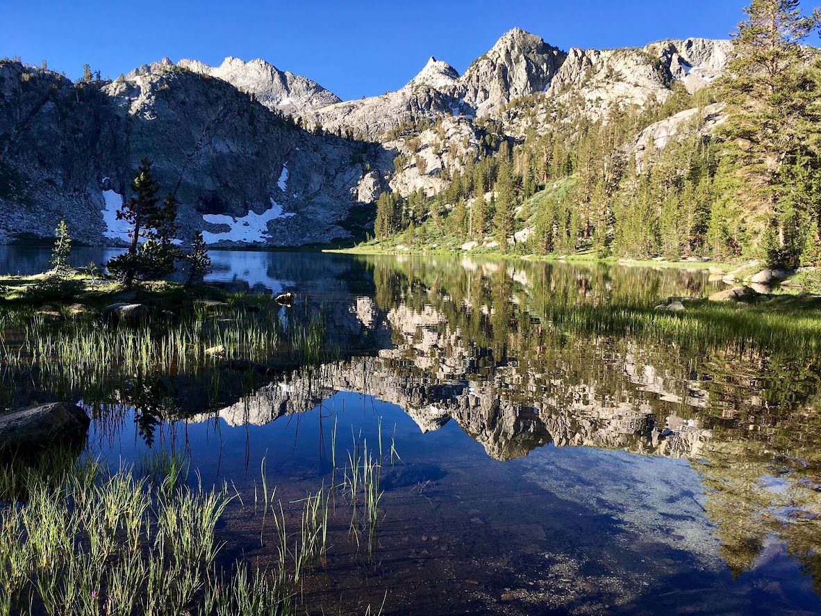


The quickest routes to reach the peak start at the floor of Kings Canyon at Road’s End and commence with a 5,000+ ft climb up the Copper Creek Trail. The Copper Creek Trail is a well-graded and relatively smooth trail allowing for efficient elevation gain into the high country, but the lower part is exposed to morning sun and can get VERY hot quickly. My recommendation for mid-summer trips up Copper Creek is to start early (before sunrise ideally). After the initial climb out of Kings Canyon the trail traverses into a more alpine environment and the temperature steadily drops as one passes through the Tent Meadows and higher up into a beautiful red fir forest. Near the saddle before dropping into Granite Basin there are two options. The first option utilizes trails the entire distance to State Lakes leaving only a short off-trail journey from the State Lakes to the summit of State Peak, including the final third class scramble. For this option continue into Granite Basin and then up to Granite Pass. Granite Basin is very pretty and Granite Lake is a worthwhile detour if time allows. After descending the north side of Granite Pass take the trail to State Lakes. The second option leaves the designated trail near the Granite Basin saddle and takes the Sierra High Route to Grouse Lake and then up and over Glacier Lakes Pass to the Glacier Lakes before reconnecting with the trail a little over a mile before State Lakes. This second cross country option shaves off around 3-4 miles each way and is much more scenic passing through the lovely Glacier Lakes basin. The cross country terrain is also relatively easy with large sections of grassy meadows and friendly granite slabs. However, the trail option is likely preferred for night travel, especially if one has not seen this Sierra High Route section previously. In addition, Glacier Lakes Pass can hold snow into mid summer. While the cross country route is shorter, they are both long. The off-trail route through Glacier Lakes is around 17 miles each way while the trail route through Granite Pass is around 20-21 miles each way. With prior knowledge of the Sierra High Route, I opted for the Glacier Lakes route, which can be seen here.


At the first State Lake, continue on the trail through pine forest and leave the trail just before the second State Lake. Cross country travel is easy through open forest before a short climb commences leading to the highest State Lake set at the foot of State Peak. This is a beautiful lake surrounded by scraggly pines and meadows. From this lake one can appreciate the large size of State Peak with it’s numerous chutes that lead up to a long ridgeline. It’s somewhat confusing which of the chutes is the easiest to reach the summit ridge, but it appears all are mostly in the class 2 to class 3 range with the most difficult climbing at the bottom of the chutes, which terminate in a broken cliff band that spans the entire northern face of the mountain. Getting through this broken cliff band can result in more difficult climbing if one is not aware so it’s worth spending time to scope out the easier class 3 routes through these cliffs before standing immediately underneath them. Once above the lower cliff band, the climb transitions into a steep talus slog that goes at class 2 or class 3 depending on the exact line taken. The chute I chose ended up right underneath the summit but surrounding terrain all looked similar so there is definitely more than one way to do this scramble. State Peak sees only a few parties per year and the summit register is an original making it interesting to peruse.


