
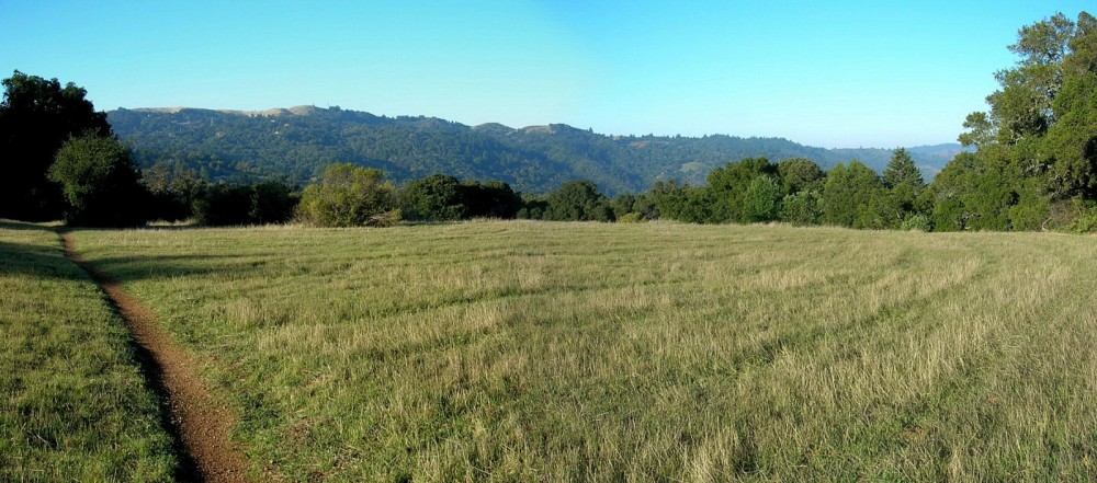
This is a fantastic lollipop loop (one of my favorites) passing through Arastradero Park and Foothills Park. The highlight of the run is the narrow single track of the 7.39 mile Los Trancos Loop, complete with scenic views of the Bay Area and a great section in a narrow canyon along Los Trancos Creek with waterfalls and cascades. The trail passes through numerous plant communities including grasslands, chaparral, riparian woodland, mixed evergreen, and oak woodland. There is always wildlife in this area with bountiful deer populations and often coyotes. Los Trancos Creek canyon was very dark due to the sun’s low position in the winter sky so I will return for photographs of the cascading stream later in the spring.


The biggest climb on the run is around the halfway point with 1,000 vertical feet of up along Los Trancos Creek to the ridge, with several steep pitches and then a more gradual upper section of the climb. The run was 1:33:30 net time with several stops for photography. On the way back, I was running short on time so I took the one-way road by the Interpretive Center to the Arastradero Creek Trail. A more scenic route on trails that would add 0.8 miles would be the Chamise Trail up to Coyote Ridge Trail which runs back down to Arastradero Creek Trail.


A small extension from Vista Hill would be the Panorama Trail Loop which adds 1.25 miles of smooth single track. Larger extensions include venturing into Los Trancos Open Space Preserve via the Page Mill Trail. A Lost Creek loop would add 4 miles while a Franciscan Loop would add 5.5 miles. Finally, there are numerous trails in the grasslands of Arastradero Park to add on a few miles.

Stats:
- Distance: 12.75 miles (many options for extensions)
- Lowpoint (start/finish): 295 ft
- Highpoint: 1,700+ ft
- Total elevation gain: 2,200+ ft
Route:
- Juan Bautista de Anza Trail
- Arastradero Creek Trail
- Coyote Ridge Trail (right)
- Las Trampas Valley Road
- Los Trancos Trail
- Wildhorse Valley Fireroad
- Las Trampas Valley Road
- Chamise Trail OR one-way road to Vista Hill
- Arastradero Creek Trail
- Juan Bautista de Anza Trail
Maps:
- Arastradero
- Foothills
- Los Trancos Open Space (for possible extension)
